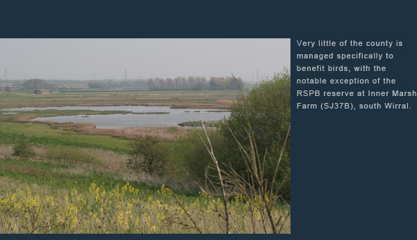
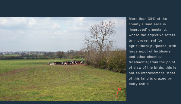
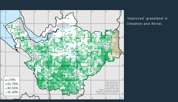
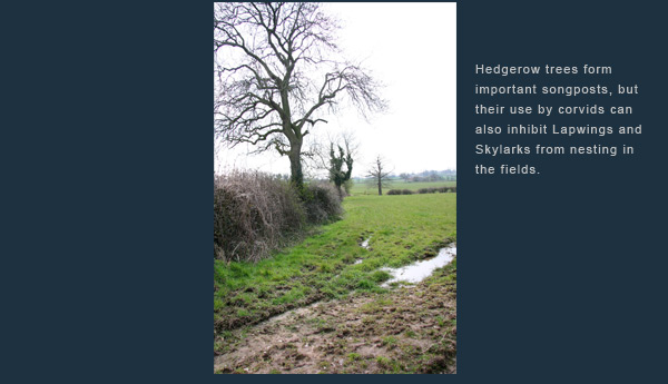
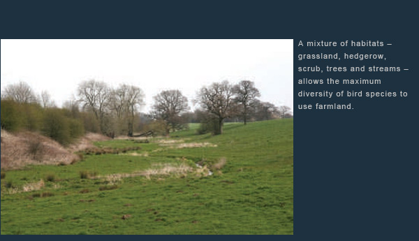
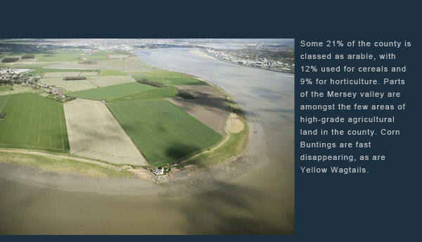
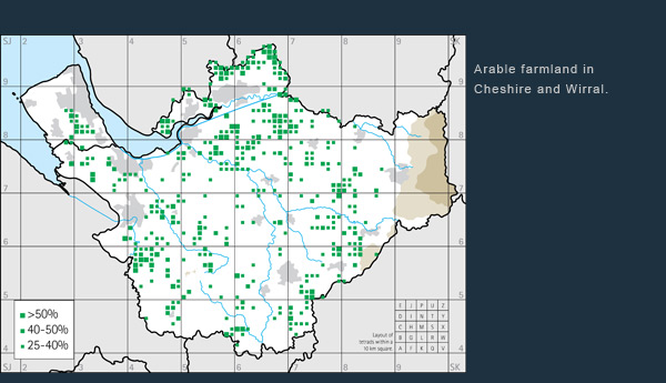
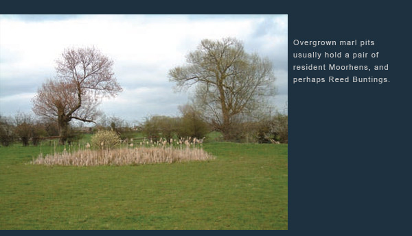
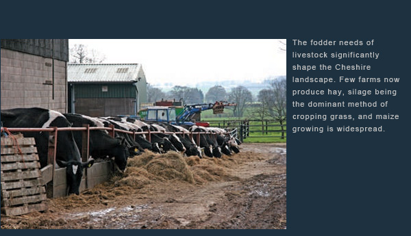
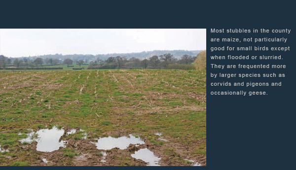
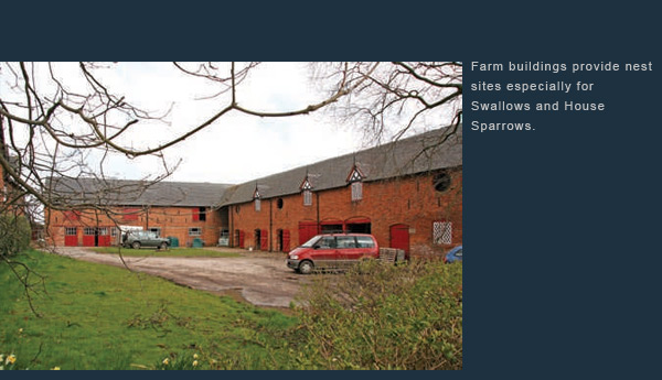
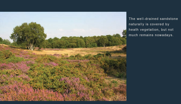
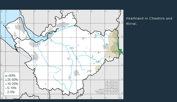
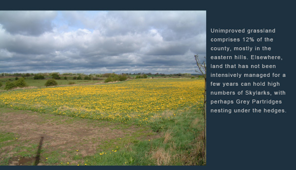
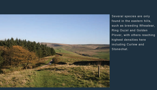
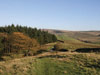
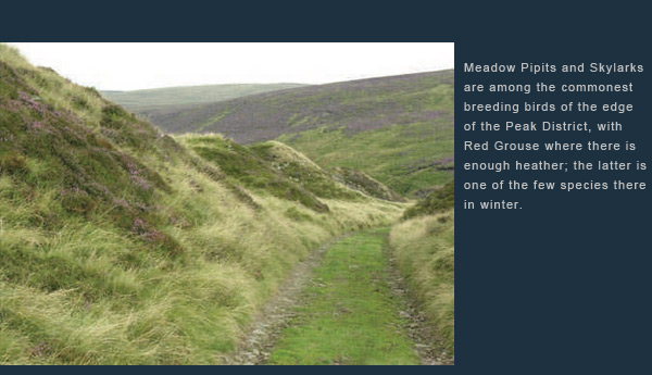
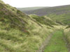
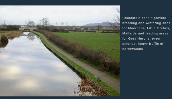
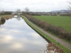
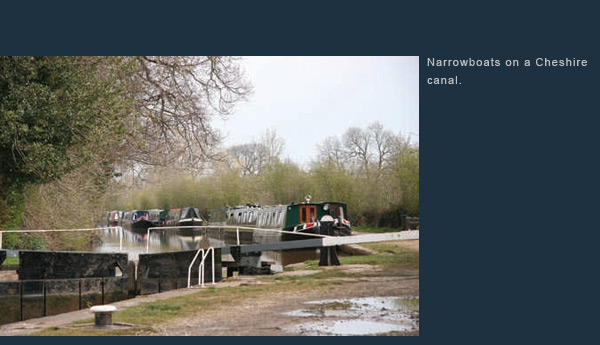
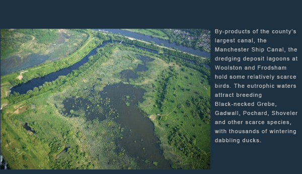
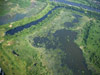
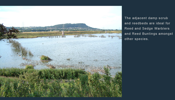
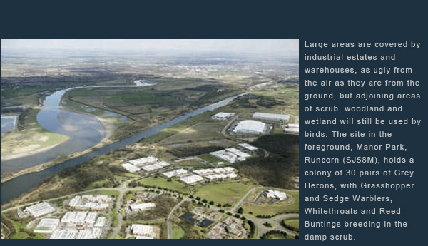
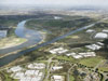
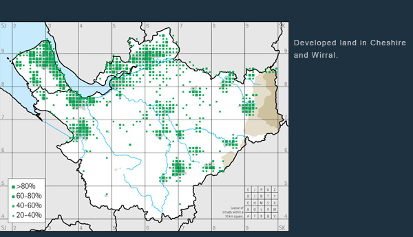
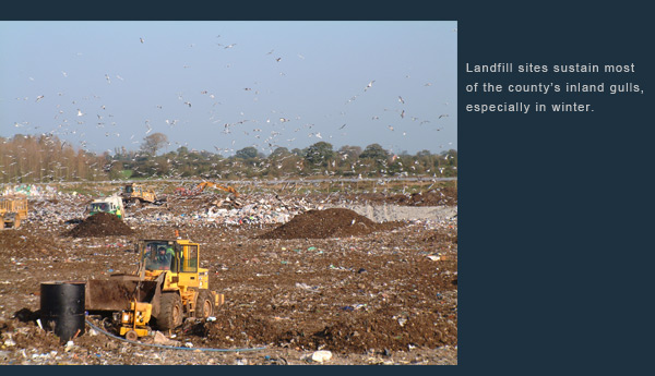
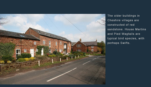
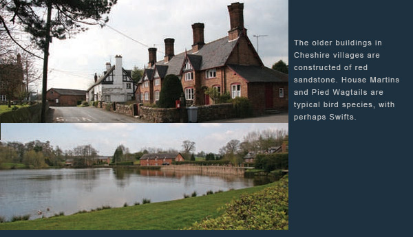
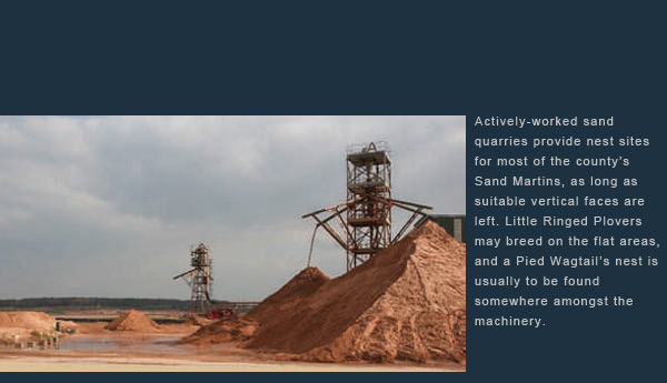
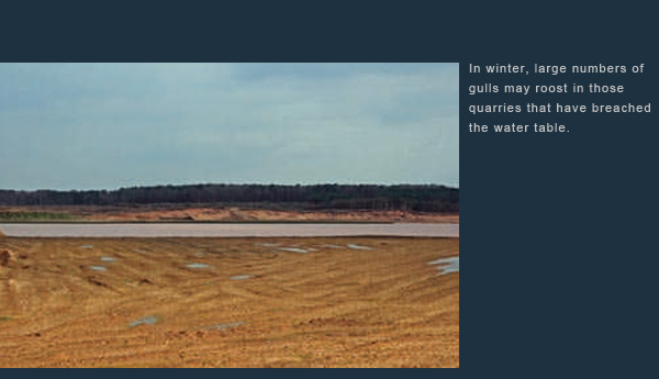
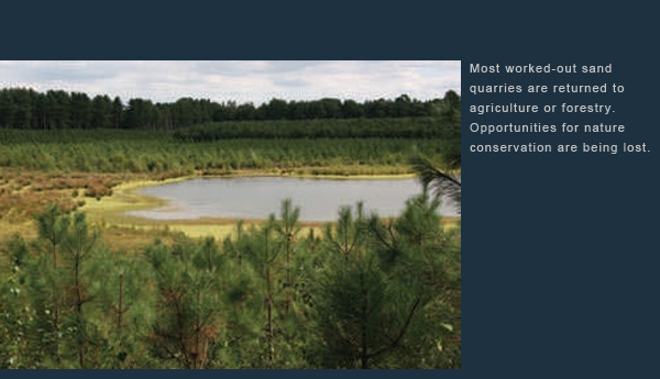
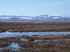
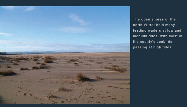
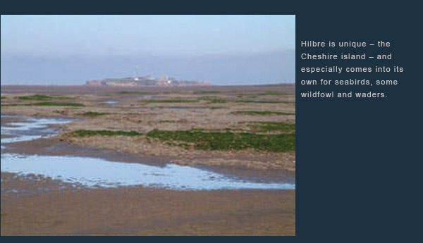
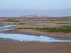
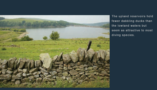
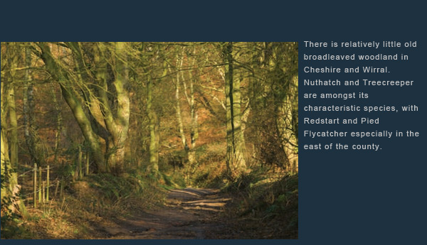
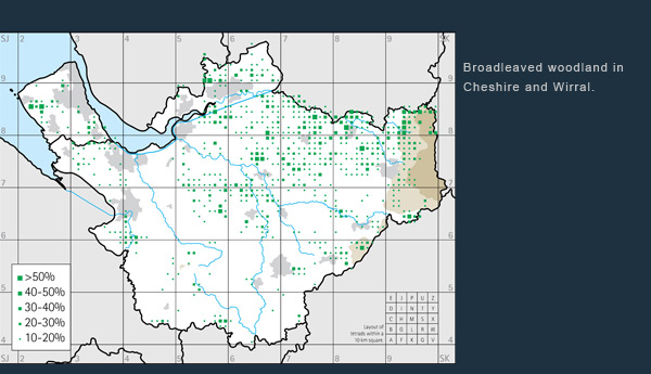
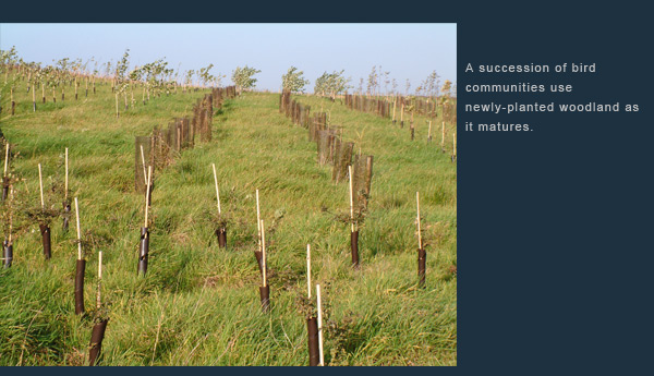
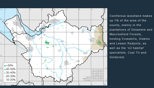
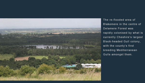
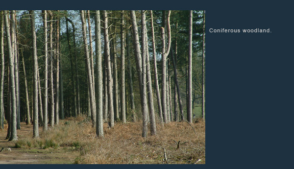
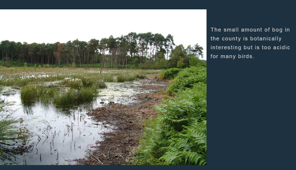
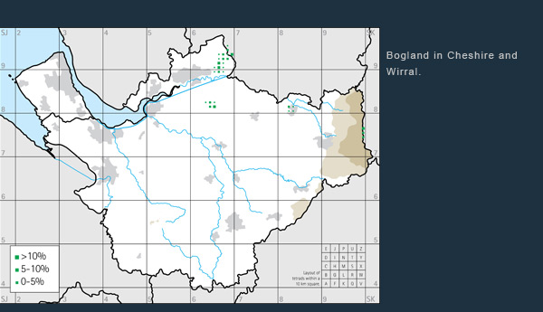
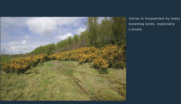
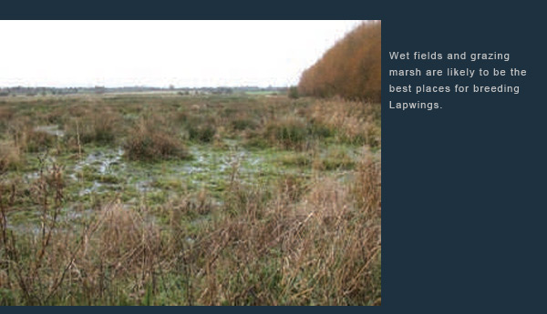
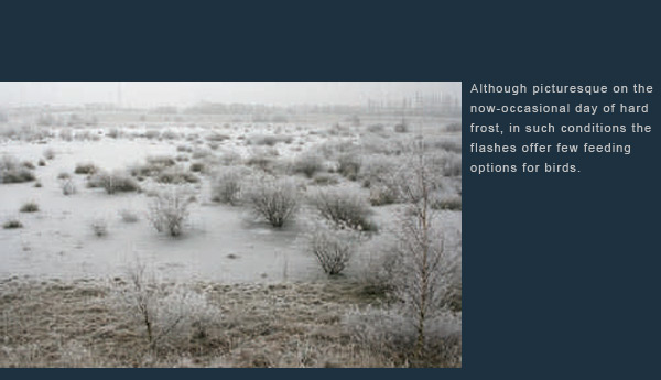
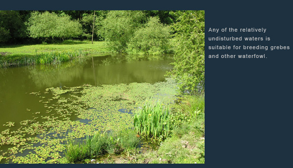
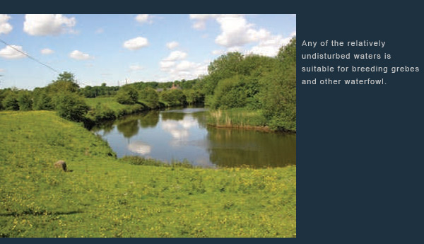
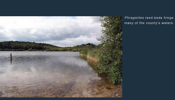
Habitat types


To display or hide thumbnail images, click the" thumbnails" link at the top of the slide viewer.

To display or hide thumbnail images, click the" thumbnails" link at the top of the slide viewer.
Copyright © 2008 David Norman on behalf of Cheshire and Wirral Ornithological Society
Registered charity number 702484.
Sponsors: Heritage Lottery Fund, Cheshire County Council (Cheshire West & Chester, Cheshire East), Forestry Commission, Macclesfield Borough Council, Halton Borough Council, Natural England, Shell UK, United Utilities, Vale Royal Borough Council and the Zoological Gardens Chester.
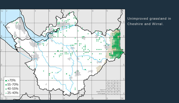
Dot-maps produced using DMAP. Yellowhammer banner image © David Quinn.